Satellogic to monitor global subnational protected areas
Company announces $6M deal with Albanian government
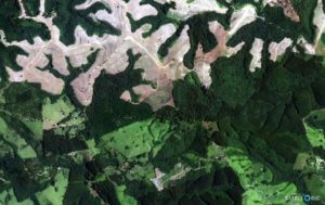
Earth imaging company Satellogic (NASDAQ:SATL) announced that it will monitor and provide satellite imagery data for all global subnational protected areas by 2023 through the GREEN+ Jurisdictional Programme , an alliance of organizations working to promote climate sustainability. The program officially kicks off in November at COP27, the 2022 United Nations Climate Change Conference in Egypt.

The company plans to operate 34 satellites by Q1 2023 and will initially provide satellite imagery of Earth’s forests for the project through 2025, according to co-founder and Chief Executive Emiliano Kargieman.
“The project with Satellogic will show the month-by-month impacts and sources of deforestation with a co-benefit of building credibility among investors of the carbon credits produced by conservation,” Sebastian Navarro, secretary general of Capital Cities of the Americas Facing Climate Change (CC35), a non-partisan organization for collaboration between public and private sectors, told Connectivity Business News.
The program is expected to increase assets for forest owners and expand timelines for clean infrastructure implementation, Alejandro Guerrero, chief executive at venture capital firm GREEN Trust, told Connectivity Business News.
Using satellites to combat crime
Satellogic also announced a three-year, $6 million deal with the government of Albania to develop a dedicated constellation that will provide the country with responsive satellite imagery capabilities across its sovereign territory, according to a release. The country will use the imagery to curb pressing crime issues including illegal crops and construction activity, a Satellogic spokesperson told Connectivity Business News.
The agreement gives Albania access to two satellites, “Albania-1” and “Albania-2,” which will join Satellogic’s fleet in its upcoming satellite launch with SpaceX, according to the release.


